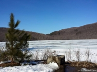
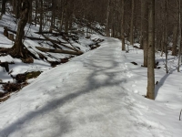
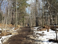
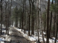
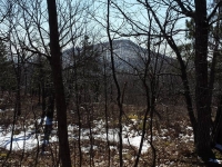
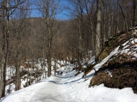
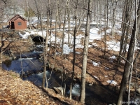
Mont Saint-Hilaire is one of nine Monteregians hills located near Montreal (30km east). It is named in honor of Hilary of Poitiers, Doctor of the Church, and is part of the core area of the biosphere reserve of Mont-Saint-Hilaire. It covers an area of 16 km2 on the right side of the St. Lawrence River basin, separated from the city of Beloeil by the Richelieu River, giving its name to the municipality that is at his feet, the town of Mont Saint-Hilaire. It includes Lake Hertel. a reception pavilion, a career and the Gault Nature Reserve of McGill University with an area of just over 5 km open to visitors for outdoor activities where there are 4 peaks (Sugar Loaf, hill Burned, Rocky and Dieppe). There are several types of forests with a very diversified fauna and flora, and there are a variety of over 300 minerals. You can do cross-country skiing, hiking and bird watching.
Tips
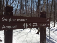
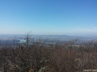
If you want to get a good view of the region and see the Olympic Stadium in Montreal, go to the Sugar Loaf, you can also see the Adirondack mountains in upstate New York. From the top of Dieppe, you will see the Richelieu River. If you want to know the paths that are open to the public, go to the website site of the Nature Center to get a map. If you are a group of 20 people or more, you must apply for a permit to make your hike.

